How is water transparency changing in the Gulf of Riga? LHEI develops a reusable data analysis approach
Water transparency has declined significantly over the long term in the eastern and northern parts of the Gulf of Riga. To analyse these changes and investigate their possible causes, researchers at the Latvian Institute of Aquatic Ecology (LHEI) are developing data analysis tools for the Daugava River and Gulf of Riga pilot region within the AquaINFRA project.
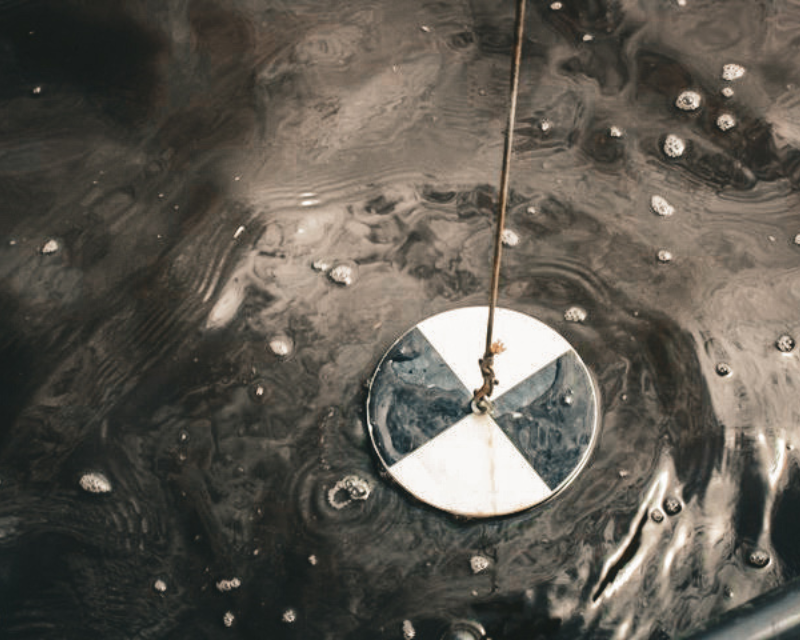
Water transparency determines how deeply light penetrates the water and influences conditions for underwater vegetation. In an interview published on the AquaINFRA website, LHEI Director Astra Labuce explains that long-term transparency measurements make it possible to track changes over several decades. However, measurements alone cannot reveal whether these changes are associated with phytoplankton, suspended particles, coloured dissolved organic matter, or a combination of factors.
AquaINFRA aims to make it easier to use freshwater and marine environmental data together in research. These data are often stored in separate databases, and preparing them for comparable analysis requires considerable work. Led by Solvita Strāķe, LHEI researchers coordinate the testing of the project’s virtual research infrastructure across different European regions and contribute to its development.
The analysis workflow developed for the Gulf of Riga is publicly available and has already been tested in other Baltic Sea sub-basins. It enables researchers to repeat the analysis steps using different datasets, although interpreting the results requires knowledge of local ecological conditions. Further research examines the links between changes in the catchment, river water chemistry, and water transparency in the gulf.
Where can researchers find the tools?
Code, example workflows, and technical instructions for tools developed and adapted within the project are available on the AquaINFRA GitHub page. These include code for the HELCOM Eutrophication Assessment Tool (HEAT), the pyOWT library for optical water type classification, and resources for using data processing tools within the Galaxy research environment.
The Daugava River and Gulf of Riga analysis workflow is published in a separate repository. It contains R scripts for grouping observations by area and season, preparing time series, analysing trends, and displaying results on static and interactive maps. The repository also provides examples of how to run the scripts and information on the required software packages. The workflow remains under development, but its public availability already allows other researchers to explore the analysis steps and assess their suitability for their own studies.
Partners prepare for the project’s conclusion
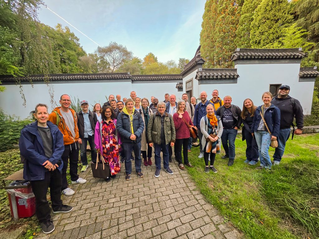
AquaINFRA partners met in Bochum, Germany, from 22 to 25 September 2026. The meeting focused on planning the project’s final tasks, discussing training materials to help others use the tools, and preparing for the final conference.
The AquaINFRA final conference will take place on 5 November 2026 at Aalborg University’s Copenhagen campus in Denmark. It will present the data, services, and virtual research environment developed within the project.
Read the interview with Astra Labuce
Final conference information