
This year’s farthest coldest expedition for the LHEI microplastics research team – how is it going in Svalbard
When nothing goes according to plan – 3rd blog
Project evaluators usually attach great importance to the execution of the project plan and budget outline. Not only the Arctic expeditions, but field work in general is prone to be affected by changes and new, unplanned items can appear in the budget.
After about 7 hours of travel we have reached Eidembukt Bay and it welcomes us with unpleasant weather. It’s drizzling, it’s wet, the glacier is covered in mist, then it recedes, but the gray haze remains. The worst thing is that there is a strong wind and strong waves at our anchorage. The relatively small yacht is constantly being rocked and already at breakfast we understand that what is put on the table will stay there. We want to get ashore as soon as possible to be free from the annoying seasickness. Food taken on land must be carefully selected, as bears can smell food from up to 30 km away. It should be lean and without a strong smell, so cheese and meat sandwiches, chocolate and bananas must be left on board, therefore we only take nuts, biscuits, water and tea with us.
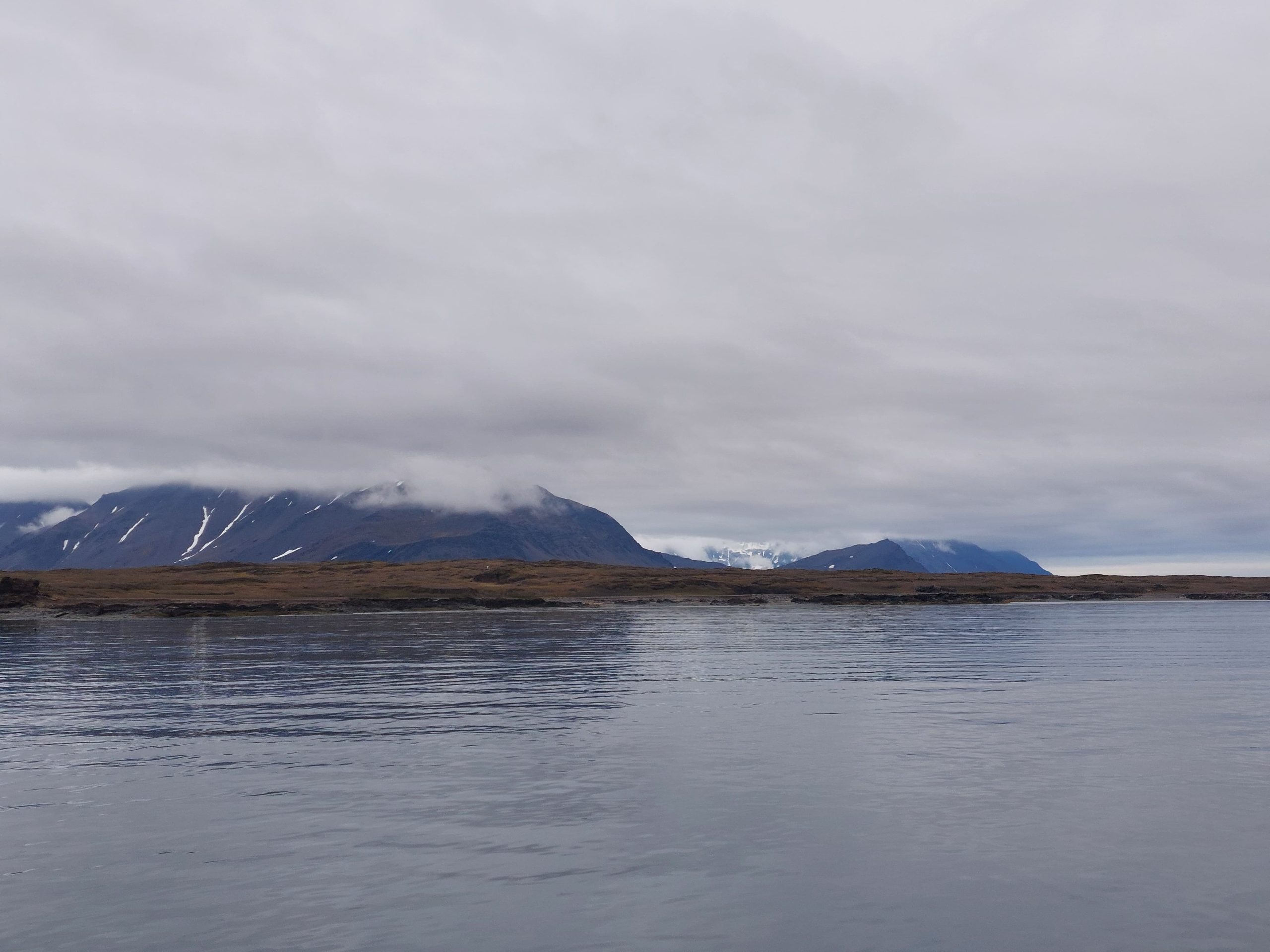
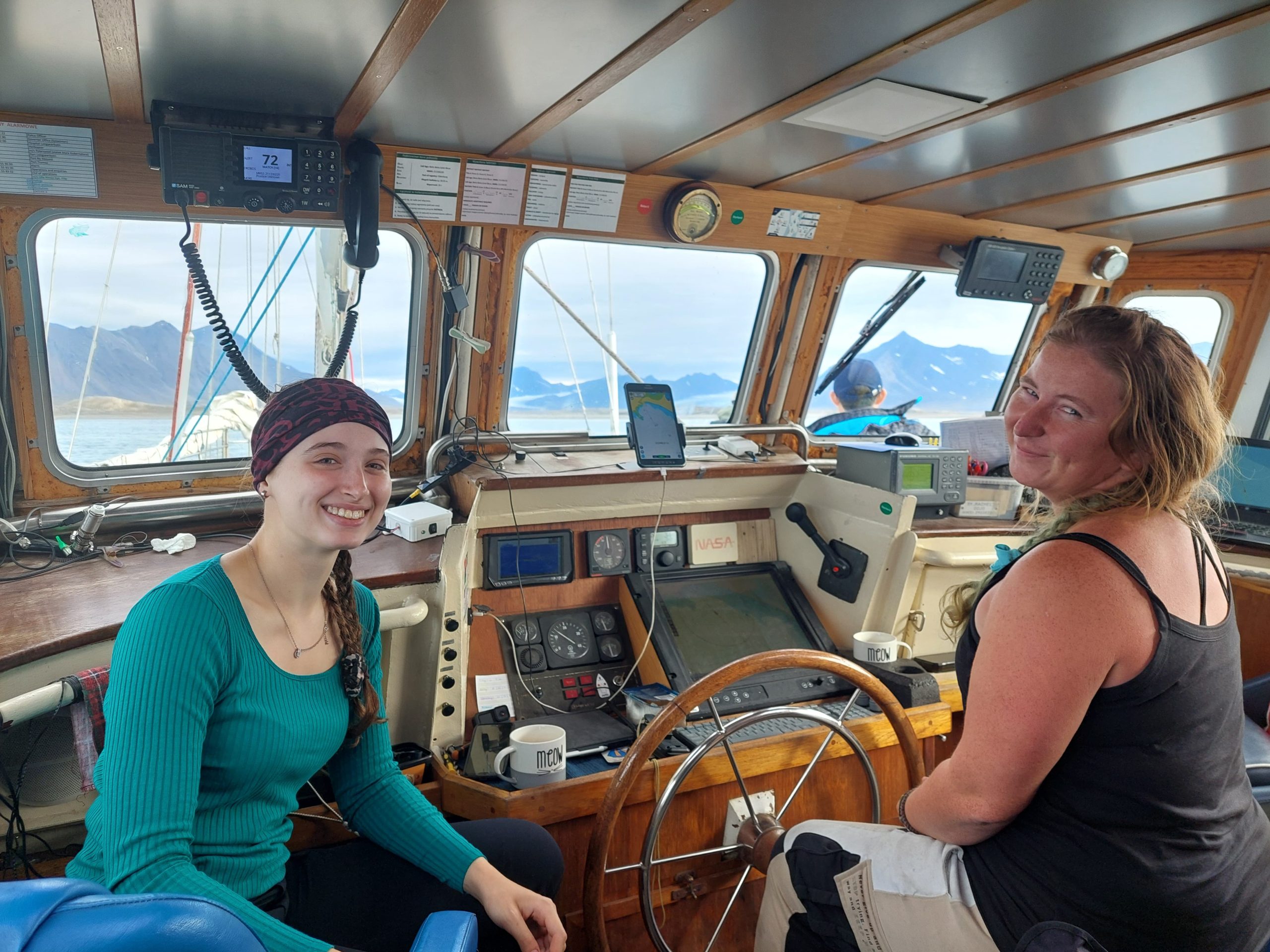
Our Lithuanian colleagues, Aleksejs and Andrius, are the first to leave the yacht; their job is to take an inflatable boat through the narrow channel between the open ocean and the lagoon to our meeting point, carrying most of the equipment. This means fighting their way against the current in places where fresh water from the melting glacier meets saltwater, getting over the shallowest places, sometimes by pushing the heavy boat. At a visible distance from the yacht, the boat stops because it encounters the first problems with the engine (and not the last…). After a while, the captain of the ship, Alicia, with her assistant, Elena, decides to go with the second inflatable boat to rescue them, in order to understand what is happening with the engine. When this is resolved, the rest of us explorers go to the shore as we will reach the meeting point on foot. The division into groups is based on the principle that each of them, including the boat group, has at least one flare and a weapon.
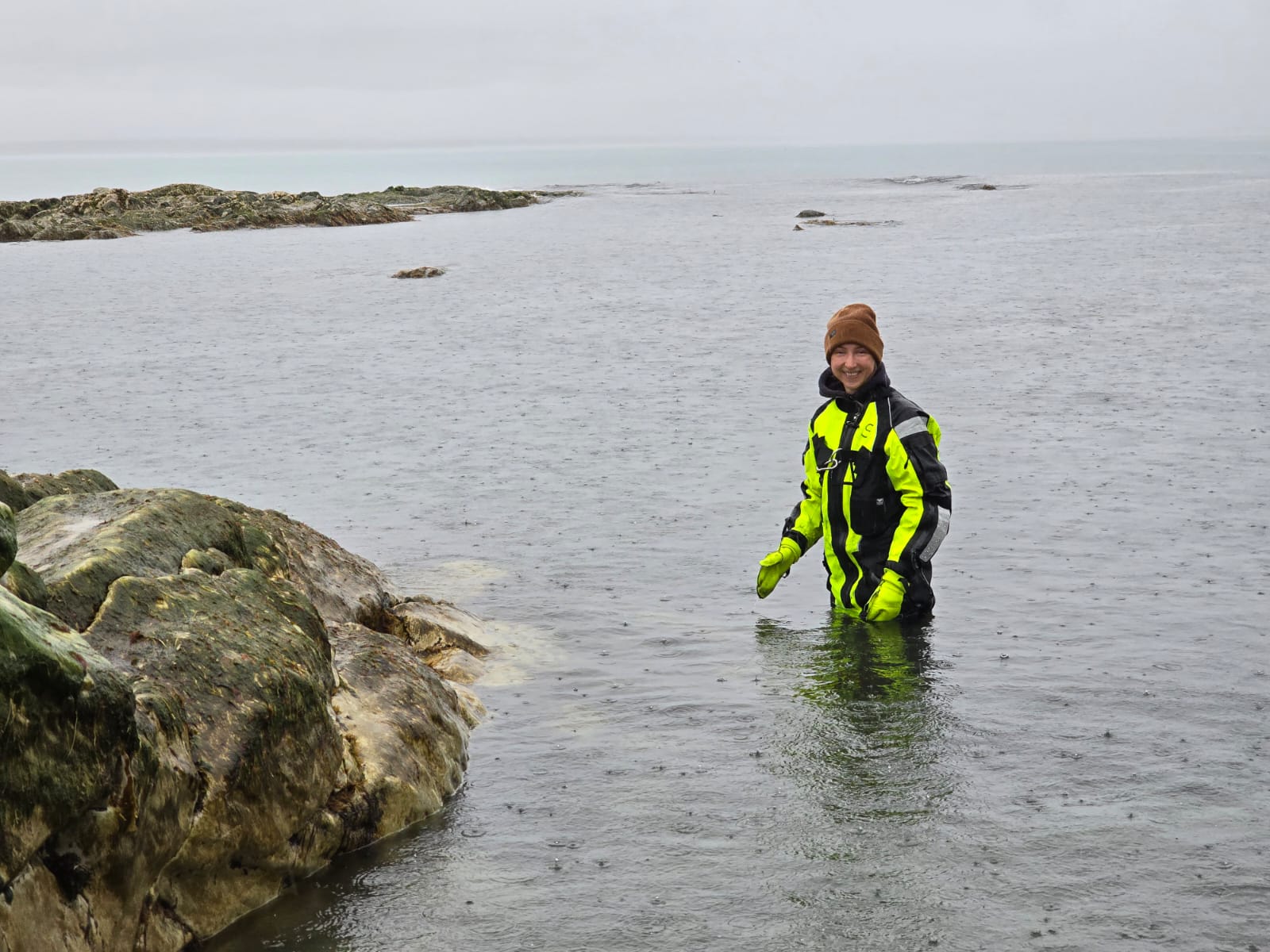
It’s a good thing that we have the rented survival suits on our backs, as when we are getting out of the yacht, the boat is hit by a strong wave, as a result of which Inta is not able to hold on and is left somehow hanging between the yacht and the boat. Elena, the captain’s assistant, yells for her to let go of her hands as she grabs Inta, luckily catching her. In the following days, we make sure again and again that the ladies of the yacht’s crew are made of steel!
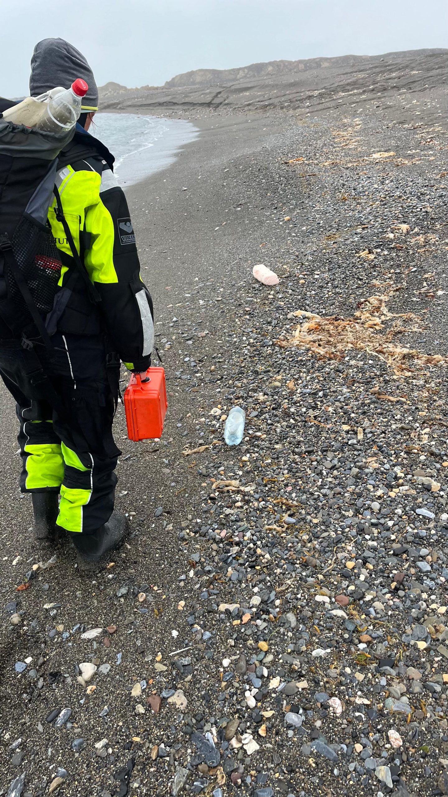
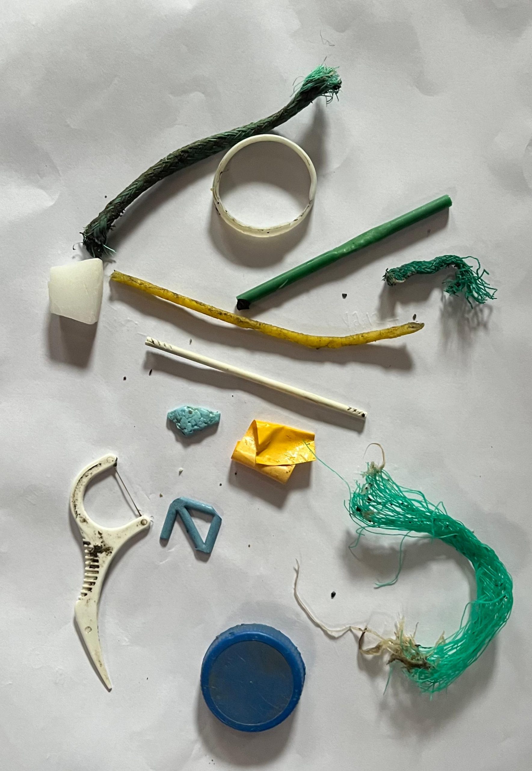
The sampling site is deserted. The first acquaintance with the territory promises results – regardless of how remote the place is, there is a small, but regular plastic pollution on the coast – pieces of rope, plastic debris. Taking a few steps further, we find a magnifying glass packed in a plastic bag – last year a group of geologists from Russia was here, now the glass will become our souvenir. After a while, we manage to communicate with Aleksej and Andrius with the help of a walkie-talkie. The channel is particularly unfriendly and shallow this year, the boat has to be pushed along the bottom, and it’s a slow process since the boat contains not only our 114 kg luggage, but also Lithuanian equipment. However, the Taiwanese have brought everything they need in backpacks, so we decide on the first change of plans – to start collecting the samples they need (filtered water, moss, lichen) right here on the spot. While the Taiwanese collect samples, the rest of us look around and watch for any bears approaching. There are no bears, but we spot a reindeer about 300 meters away.
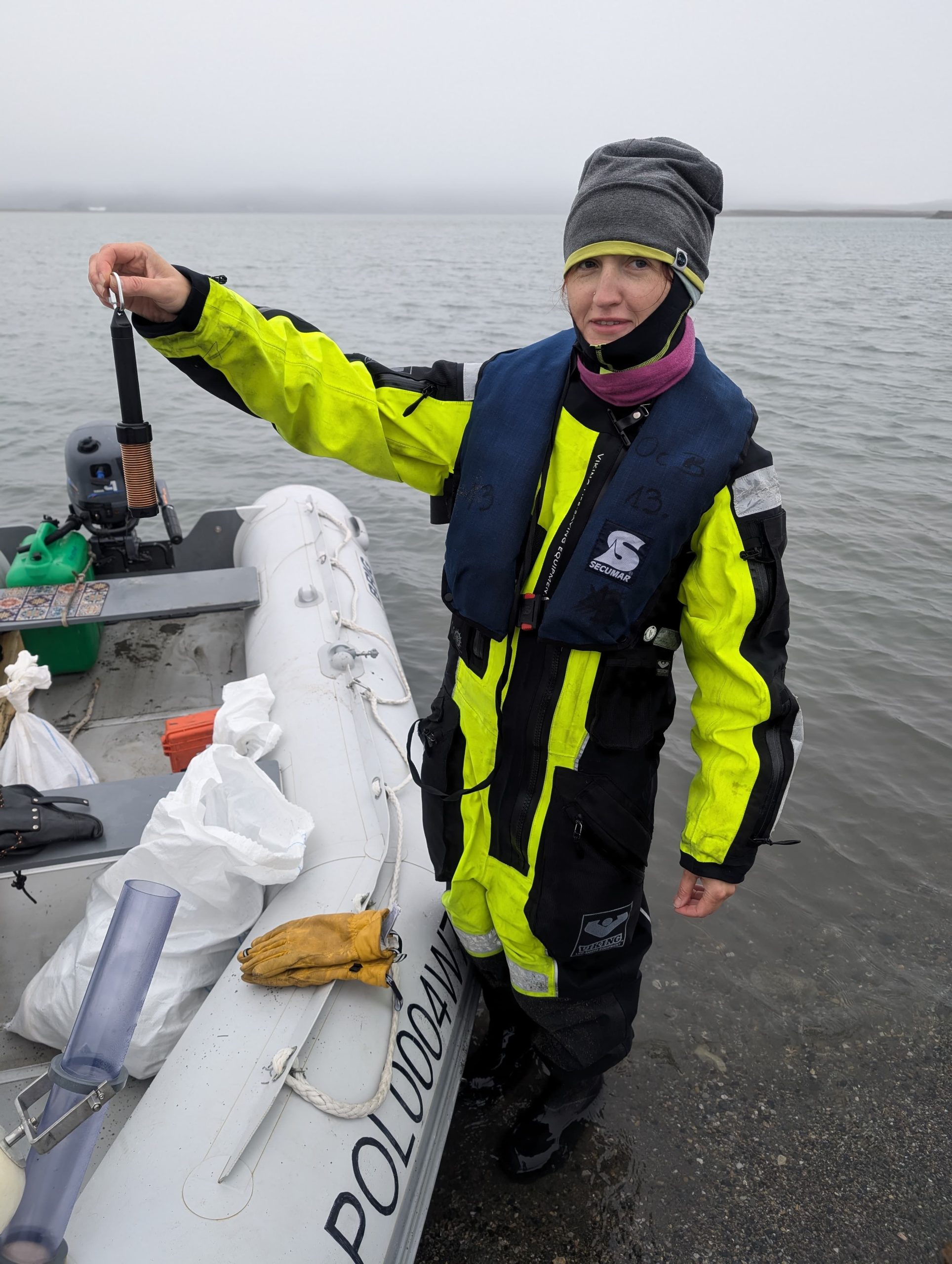
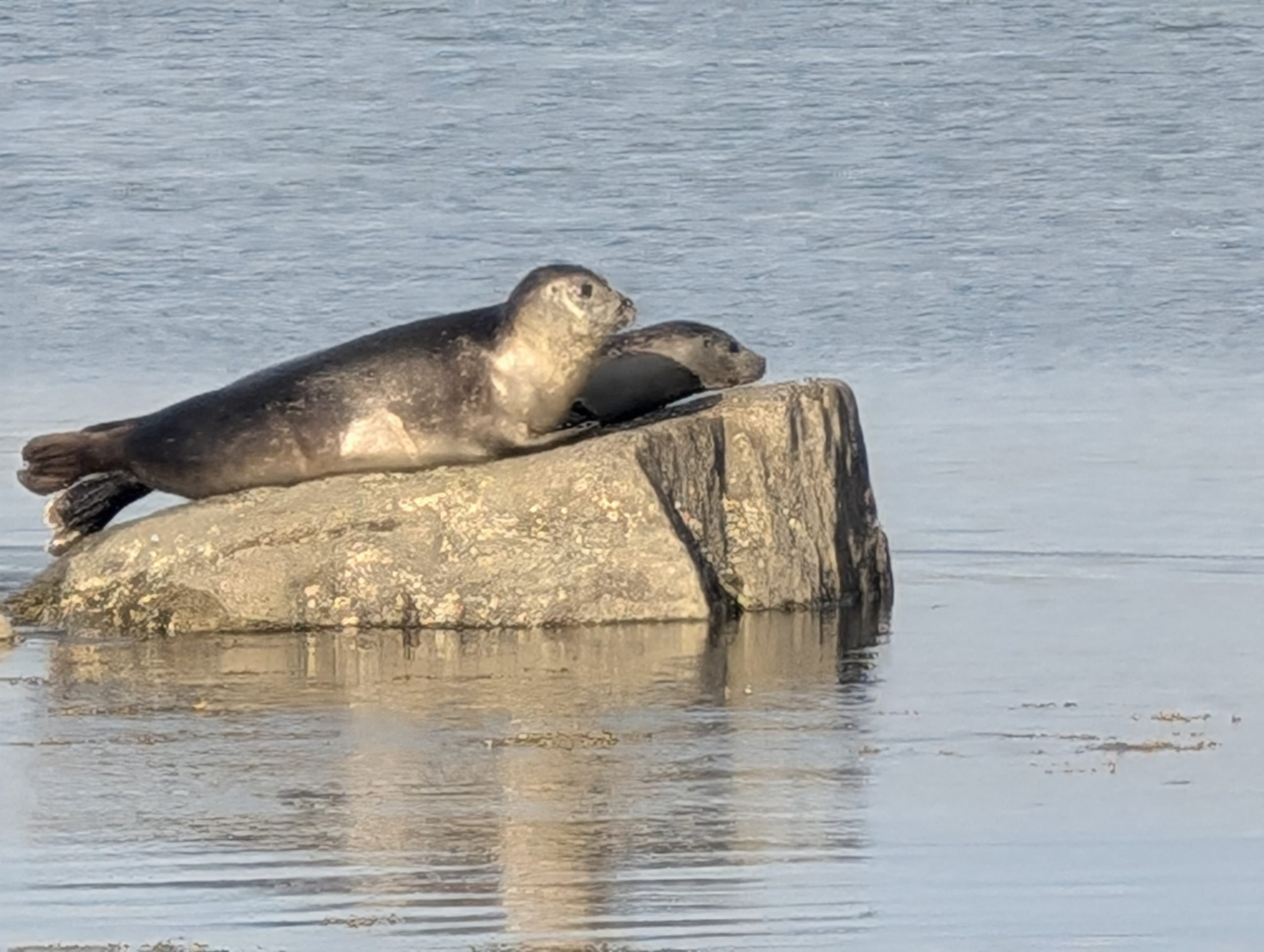
Two hours have gone by when Aleksej and Andrius appear with the equipment we need. We get on the boat and go to fulfill our most important task of the day, to place microplastic capturing devices in the lagoon, which will stay there for a year until we return to collect them next summer. The process is seriously monitored by a seal. The device consists of a heavy anchor, on top of which is a system of catchers with buoys, which hold the device in a vertical position. The device will be fixed in place at about a meter height; it is followed by a long rope with a buoy, which we let in about 4m below the water level, so that next year it can be found at the corresponding coordinates with the hook system and pulled out. Why put it so deep under water? So that in the spring, when the ice begins to melt, our catcher is not carried to the ocean along with the ice. We calculate that an ice layer of about 3 meters thickness can form in winter, plus we add a meter on top to be safe. The work is painstaking in the literal sense of the word, as the most important thing when lowering the system is not to get tangled in all 34 meters of the ropes. When you throw a microplastic catcher overboard and let it go, it falls quickly and it’s important not to get your fingers tangled in the line like Andrius does. First the other three boat mates save his hand and then his glove. However, in the end, the job is done, two catchers are placed at a depth of 34 and 8 meters. We also attach a data recording device to one of the devices, which will record and save data on water temperature, oxygen level and salinity at certain intervals throughout the year. This will be unique data for an ecosystem that has not been studied in such detail until now. During our trips from one sampling site to another, we see that the echo sounder shows a double bed in the lagoon – under the first layer of sediments, there is a layer of water and another dense layer of sediments beneath it.
And not the last task of the day – to put the same catcher device in one of the lakes. We drive to the shore, regroup, and Aleksei and Andrius take us, a group of three people – Inta, Marta from LHEI and Dmitri from Klaipeda University – to the other side of the lagoon, where we cross a tundra ridge to get to the lake.
The lake is a recess in a rocky pit, in which lies a deep layer of sticky and clay-like mass. A fine cloud of clay particles rises as we enter the water to take the samples, which most likely means that the collected samples will not be suitable for our purpose since the microplastics in the water will mix with the microplastics in the sediments. After collecting a sample which takes a few minutes, Inta realizes that she will not be able to get out on her own, because the clay mass holds both of her boots firmly in place! Since the survival suit is sewn together with the boots, stepping out of them is not an option, and for a moment there is a struggle as two explorers try to pull the third out of the clay. We end up having to dig the clay with our hands away from the boots and Marta jokes that she almost lost her supervisor for the second time today.
In such a place, putting sediment traps and taking sediment core samples simultaneously is hopeless. Catcher devices need a depth of at least one meter, where we can’t reach without a boat, but the sediment is so fluid that it flows relentlessly out of the core pipe. It is clear that in the evening everyone should come together to come up with a plan B. We walk around the lake in the hope that there might be a different type of bottom at the stream entering the opposite side of the lake, but we find nothing. However, we come across fresh bear pawprints! At that moment Aleksej and Andrius report on the walkie-talkie that they cannot take us back, because the boat’s engine has stalled again. Nothing else left to do, we leave the heaviest equipment at the place where the boat dropped us off, secure it with stones in the hope that bears will not destory it and walk back through the tundra to get to the seashore, where another inflatable boat from the yacht can pick us up. The walk back is difficult.
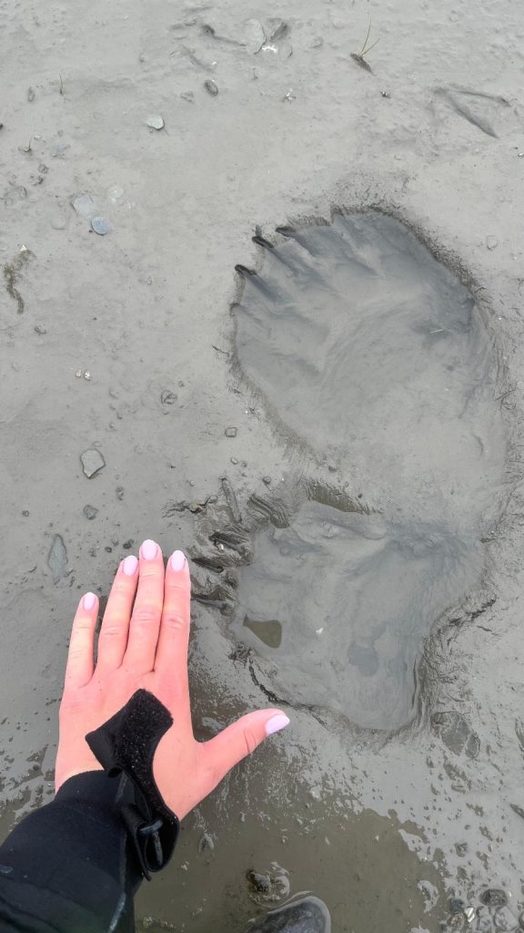
We still carry big backpacks, survival suits are heavy, the terrain is unclear due to the hills and depressions, and there are many bear tracks around us, including those of a mother bear and her cubs. As we stand in a shallow place near the lake crossing and look at the very fresh footprints, we analyze every white stone visible in the distance – whether it does moves, while Dmitriy grasps a loaded signal rocket in his hands. In our minds, we can already see how the bears find our equipment and roll our sample jars around, put a bucket on their heads and collect microplastic samples themselves. The mood is gloomy as things did not go according to plan, a decision must be made on how to collect the necessary samples in the following days. We are freezing and hungry, and a fine drizzle continues.
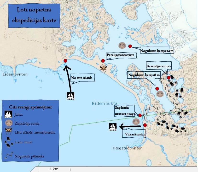
Basis of the map: Norwegian Polar Institute (www.toposvalbard.npolar.no)
Within an hour, we have reached the place where the channel from the lagoon flows into the sea. The other group waved to us from the opposite shore, the curious seal is happily swimming in the water again, and a yacht is anchored in the distance, from which Elena comes to us on a boat to return us to warmth and dinner.
Question of the day for the readers – how many kilometers does a polar bear walk per day on average? Find the answer in the next post! The most active commenter of the posts on the LHEI Facebook and Instagram accounts will win a prize at the end of the expedition!
Project “MP-ARCTIC” implemented with the support of Latvian Council of Science.